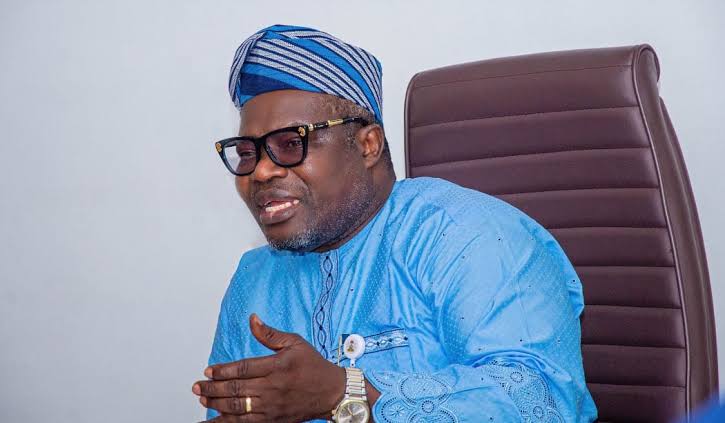
The Surveyor General of the Federation (SGOF), Abduganiyu Adeyemi Adebomehin, has pledged to make the remapping of Nigeria his top priority as he begins his newly approved two-year extension in office.
Adebomehin said the comprehensive remapping exercise would align with United Nations recommendations and the Renewed Hope Agenda of President Bola Ahmed Tinubu, adding that the project would serve as a major catalyst for national development.
“My focus and objective will be to remap Nigeria for accelerated development in line with the UN recommendation and the Renewed Hope Agenda of Mr. President,” he stated in an interview shortly after his extension was announced.
According to him, a well-structured mapping system will make it easier to access vital information such as the locations of schools, hospitals, farms, markets, and volatile areas across the country. He explained that the National Geospatial Data Infrastructure (NGDI) would play a key role in storing and managing such data for effective planning and governance.
“Whatever you have in digital format should be stored in the server for easier access,” he said, emphasizing the importance of building a robust digital mapping framework.
The SGOF lamented that Nigeria’s last comprehensive mapping was conducted in the 1970s, despite major infrastructural and environmental changes over the decades. He said the new mapping initiative would also help clearly define the nation’s international boundaries with neighboring countries such as Cameroon, Benin Republic, and Niger.
“Imagine the number of changes to roads and other features since then. Mapping will be our primary objective, even if it is the only thing we achieve in the remaining years,” Adebomehin declared.
Highlighting the critical role of surveying in national development, Adebomehin noted that the profession cuts across sectors and contributes directly to achieving the 17 Sustainable Development Goals (SDGs).
“Surveying is so crucial that it takes a cautious mind to do. In road construction and many other sectors, surveying is essential. Even though computer technology is reshaping the field, geodesy remains the foundation,” he said, describing geodesy as the science of measuring and understanding the Earth’s size, shape, and orientation in space.
On the challenges facing mapping in Nigeria, Adebomehin identified funding as the major obstacle. He revealed that while the UN recommends that every capital city be remapped every three years, such efforts are often hindered by limited financial resources.
“No matter what you spend on mapping, you will gain it back, if not for anything, for education, economic planning, and good governance,” he said. “If I had the opportunity today, I would start remapping the country immediately.”
He reaffirmed his commitment to modernizing Nigeria’s geospatial systems and ensuring that the country keeps pace with global standards in data-driven development.


