
— Surveyor General Proposes National Geospatial Data Infrastructure to Enhance Inter-Agency Collaboration
By Olusegun Ogunkayode
The Office of the Surveyor General of the Federation (OSGOF) has pledged to support the Nigerian Integrated Water Resources Management Commission (NIWRMC) in strengthening data-driven management of the nation’s water resources. The collaboration will also explore the establishment of a National Geospatial Data Infrastructure (NGDI) to enhance coordination and data sharing amongst government agencies.
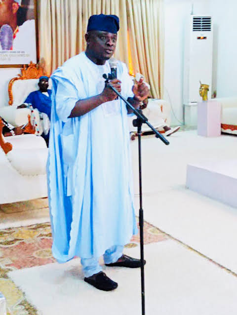
This was the outcome of a strategic meeting held at OSGOF Headquarters in Abuja when the Surveyor General of the Federation, Surv. Abdulganiyu Adebomehin Adeyemi, received the Executive Director of NIWRMC, Engr. Abdulmumin Mohammed Zaria, and his management team.
In his remarks, the Surveyor General commended the NIWRMC for seeking synergy and noted that OSGOF possesses extensive geospatial and hydrographic data critical to water management and environmental planning.
“You are in the right place,” Adebomehin said. “We have a Hydrography Department with vast data and modern equipment, including systems capable of predicting rainfall patterns. Though weather forecasting is NIMET’s mandate, our technical know-how and infrastructure can support your data needs.”
He assured the Commission of OSGOF’s full cooperation, citing existing partnerships with other agencies through Memoranda of Understanding (MoUs). He advised NIWRMC to prioritize manpower development, data centre establishment, and cloud-based storage solutions for effective data management.
“There are data that can no longer be handled by computers alone; they must be kept in the cloud,” he said. “We also need to revive our National Geospatial Data Infrastructure (NGDI), which we have not fully optimized in Nigeria. If all MDAs bring back their data, we can use it to solve national challenges in surveillance, infrastructure mapping, and planning” he reassured.
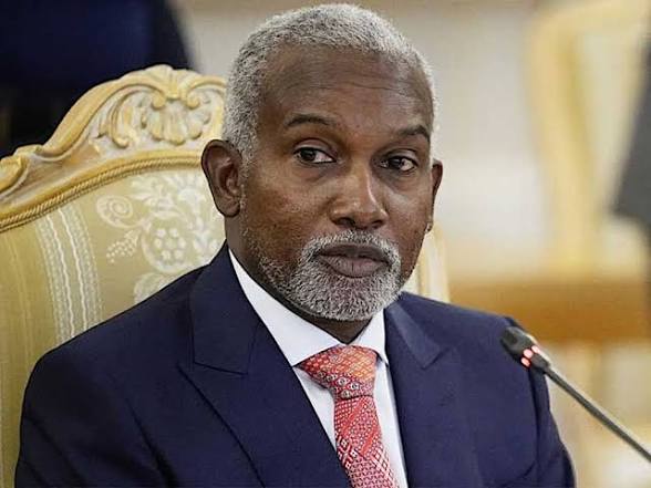
While speaking peaking earlier, Engr. Zaria emphasized that OSGOF plays a vital role in Nigeria’s land and data ecosystem, noting that collaboration is essential for effective regulation and management of water resources.
“If my Commission does not consider OSGOF as a key partner, then we have not started,” Zaria declared. “We want to leverage your expertise to regulate both onshore and offshore water resources, particularly those that are trans-boundary.”
Areas for partnership according to him, include joint mapping of water infrastructure, digital twin mapping for water resource planning, geospatial data sharing, staff training, and dispute resolution in water-related conflicts.
He added that the partnership aligns with President Bola Tinubu’s Renewed Hope Agenda, stressing that “synergy amongst government agencies is essential for national development.”
The Commission’s Legal Adviser, Rotimi Ojegbile, further explained that NIWRMC’s mandate includes regulating trans-boundary water use and promoting the Integrated Water Resources Management (IWRM) principle, a globally recognized approach that integrates land, water, and related resources for sustainable economic and environmental outcomes.
In a vote of thanks, Surv. Duniya Magaji, Head of Geodesy at OSGOF, lauded the visit as a step in the right direction, urging more agencies to embrace collaboration over competition, saying that “people often avoid collaboration because of the resources involved, but the more we collaborate, the merrier it becomes.”
The meeting ended with both agencies expressing commitment to formalize their partnership through a joint technical working group and Memorandum of Understanding (MoU) to drive shared projects in data integration, mapping, and capacity development.